

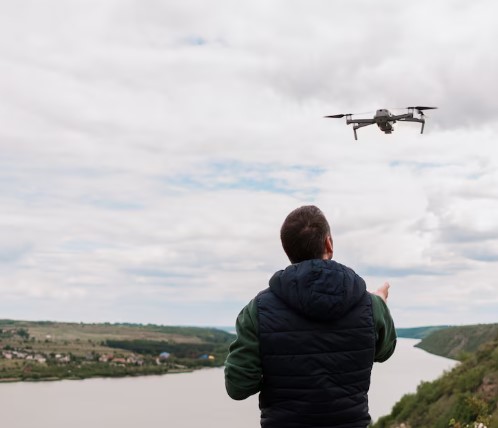
Levantamientos Aéreos Precisos
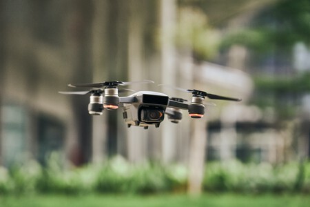
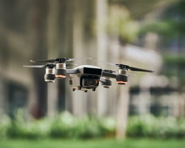
Capturamos imágenes aéreas de alta resolución mediante vuelos programados con drones profesionales, generando productos fotogramétricos precisos como ortomosaicos, modelos digitales de elevación (MDE), curvas de nivel y nubes de puntos, que permiten representar el terreno con exactitud, optimizar tiempos de levantamiento y facilitar la toma de decisiones en proyectos de ingeniería, catastro, urbanismo, minería y obras civiles. Todos nuestros vuelos son operados por pilotos certificados por la Aeronáutica Civil de Colombia, utilizando drones registrados y autorizados conforme a la normativa vigente.
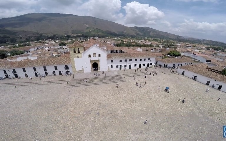
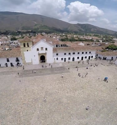
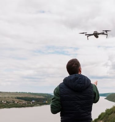
Galería Aérea
Explora una selección de imágenes capturadas mediante nuestros vuelos con dron, donde se evidencia la precisión y calidad de nuestros productos fotogramétricos. Cada imagen refleja el nivel de detalle alcanzado en ortomosaicos, modelos digitales de elevación, curvas de nivel y análisis topográficos desarrollados por nuestro equipo técnico y pilotos certificados.


Proyectos Drones
Queremos conocer los desafíos de tu proyecto. Ya sea para levantamientos topográficos, inspección aérea, monitoreo ambiental o catastros complejos, diseñamos soluciones personalizadas con tecnología dron y análisis geoespacial.
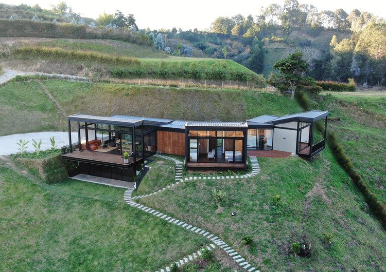
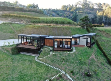
Levantamientos Aéreos para Bienes Raíces Residenciales
Potencia la venta de inmuebles mostrando vistas aéreas de alta calidad. Destaca el entorno, la ubicación y el valor visual de la propiedad desde ángulos únicos y profesionales.
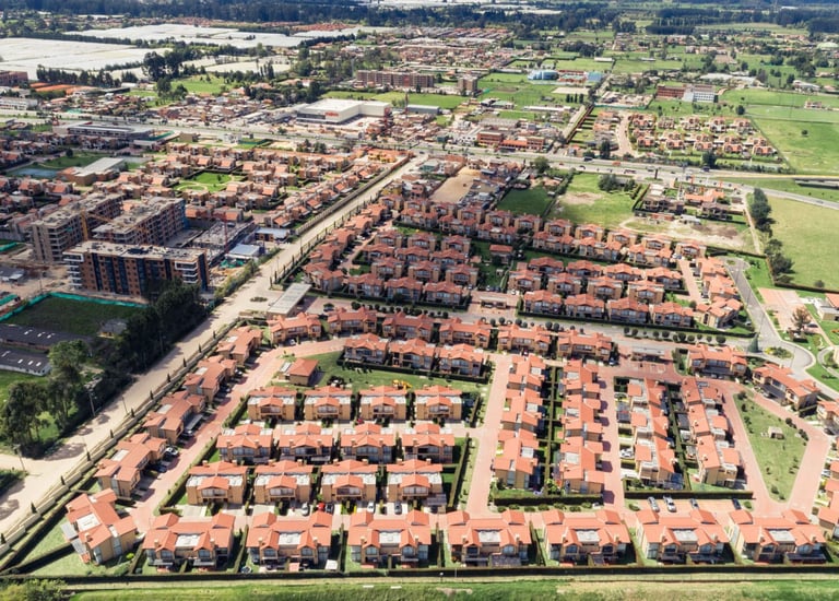
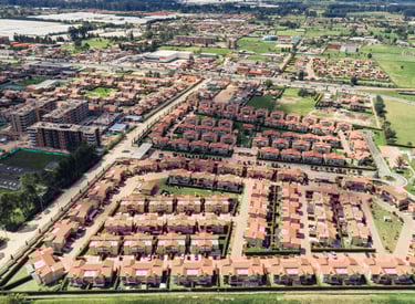
Fotografía Aérea para Bienes Raíces Comerciales
Atrae inversionistas y compradores mostrando la ubicación estratégica de tus inmuebles, su conectividad y cercanía con vías, servicios y puntos clave del entorno urbano.
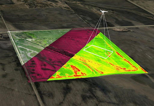
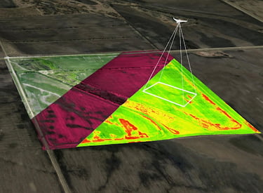
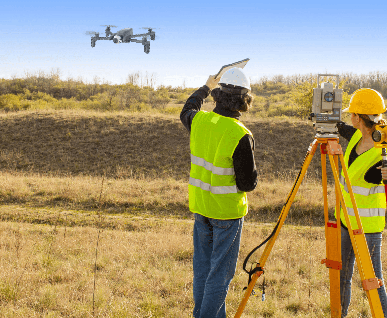
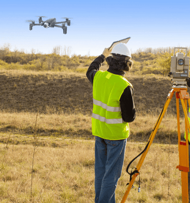
Ortomosaicos y Modelos Digitales del Terreno
Generamos mapas aéreos con precisión centimétrica, útiles para estudios topográficos, planeación predial, cálculo de áreas, distancias, pendientes y más.
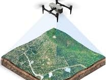
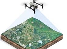
Análisis de Datos y Modelación 3D
Creamos modelos digitales interactivos, extraemos métricas clave y procesamos información espacial para apoyar decisiones en urbanismo, catastro, minería e infraestructura.
→
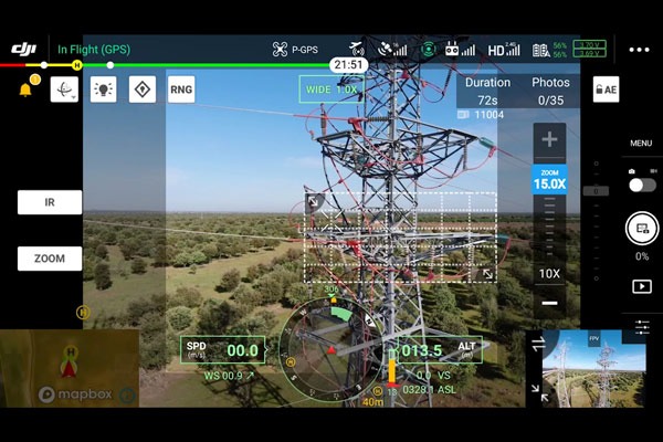
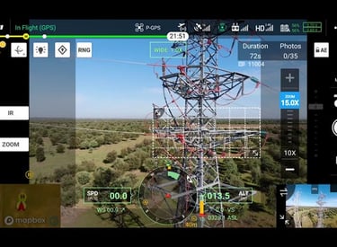
Inspección Técnica con Drones Profesionales
Evalúa techos, estructuras, redes y zonas de difícil acceso con vuelos de alta resolución, sin poner en riesgo al personal. Ideal para mantenimiento, vigilancia e ingeniería forense.
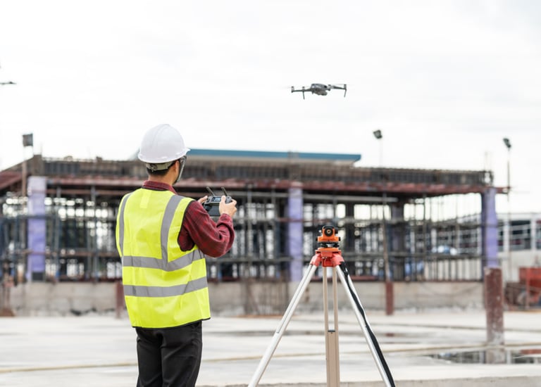

Monitoreo Aéreo de Proyectos de Construcción
Realiza seguimiento visual y técnico del avance físico de obras. Comparte resultados con interventores y clientes mediante imágenes actualizadas y datos georreferenciados.